Scotland of Old Clans Map (Collins Pictorial Maps)

sku: COM9780008225087NEW
ACCORDING TO OUR RECORDS THIS PRODUCT IS NOT AVAILABLE NOW
$23.55
Shipping from: Canada
Description
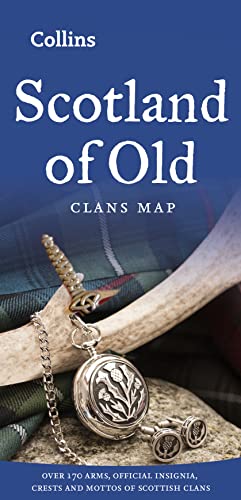
This unique pictorial map shows the ancient territories of the principal Scottish clans in the 17th century, and features Don Pottinger’s (Islay Herald of Arms) distinctive and original artwork of Scottish arms and crest badges. The map includes over 170 arms, the official insignia of clan chiefs, and crest badges. It also includes a territories map of principal clans at the beginning of the 17th century; arms of the ancient Scottish principalities; and locations of the ancient territories held by the clans around the time of King James VI. The map is ideal for those those with an interest in Scottish heraldry, clans, and family history. The map is based on the map originally conceived and illustrated by the late Sir Iain Moncreiffe of that Ilk, Bart., C.V.O., Q.C., Ph.D., Albany Herald of Arms, and the late Don Pottinger, C.V.O., M.A., D.A., Islay Herald of Arms.
Price history chart & currency exchange rate

")

")
")


")


")


")
 (National Geographic Reference Map)")
")
")

")


 (Spanish Edition)")


")
)")


