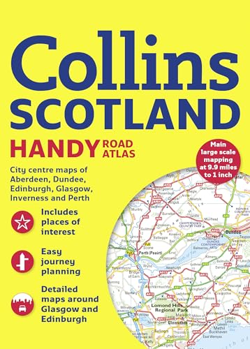
Collins Handy Road Atlas Scotland

sku: COM9780008126322USED
ACCORDING TO OUR RECORDS THIS PRODUCT IS NOT AVAILABLE NOW
$7.77
Shipping from: Canada
Description
This easy-to-use, handy A5-sized road atlas is your ideal companion for traveling around Scotland, with extremely clear route-planning maps of Scotland and detailed plans of the major cities and townsThese clear, attractive route planning maps of the whole of Scotland, which are small enough to fit into a glove box or briefcase, are supported by comprehensive, fully indexed city center street maps of Aberdeen, Dundee, Edinburgh, Glasgow, Inverness, and Perth. The main maps have a scale of 1:625,000, or 9.9 miles to 1 inch. Places of tourist interest are highlighted. The atlas has attractive layer coloring showing land height, and the road network is fully classified and color coded. There is detailed street mapping of large cities, including: Edinburgh, which includes the Royal Mile with all its attractions clearly marked, Leith, and Holyrood Park; Glasgow, including the West End, city center, and M74 extension; Aberdeen; and street maps, with indexes, of Dundee, Inverness, and Perth city centers. A handy distance calculator chart highlights distances between the major towns. Administrative areas map show council areas, and a transport connections section lists all the airports and details of all vehicle ferries into and within Scotland.
Price history chart & currency exchange rate