Политическая карта Франции на французском языке, 90*60 см, версия 1812, Настенная картина, школа, класс, фотография
Price history chart & currency exchange rate
Customers also viewed

+36%
1%
$19.76
Visual Antietam Vol. 2: Ezra Carman's Antietam Through Maps and Pictures: The West Woods to Bloody Lane
abebooks.com
1%
$12.44
The Geographic Revolution in Early America: Maps, Literacy, and National Identity
abebooks.com
1%
$22.02
Trinidad & Tobago Dive Map & Coral Reef Creatures Guide Franko Maps Laminated Fish Card
abebooks.com![Atlas of Western Canada [cartographic Material] : Showing Maps of the Provinces of Ontario, Quebec, New Brunswick, Nova Scotia, Prince Edward Island,
Atlas of Western Canada [cartographic Material] : Showing Maps of the Provinces of Ontario, Quebec, New Brunswick, Nova Scotia, Prince Edward Island,](http://pictures.abebooks.com/isbn/9781014535412-us.jpg)
1%
$16.44
Atlas of Western Canada [cartographic Material] : Showing Maps of the Provinces of Ontario, Quebec, New Brunswick, Nova Scotia, Prince Edward Island,
abebooks.com
-12%
1%
$14.95
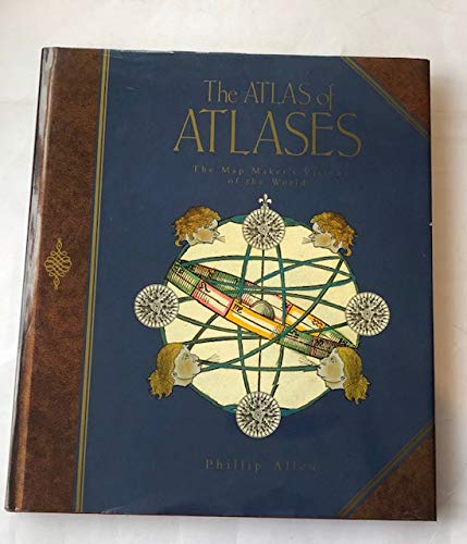
The ATLAS of ATLASES. the Map Makers' Vision of the World. Atlases from the Cadbury Collection, Birmingham Central Library.
abebooks.com
1%
$16.99
Mapping America: The Incredible Story and Stunning Hand-Colored Maps and Engravings that Created the United States
abebooks.com![Lords of the Lake: The Naval War on Lake Ontario, 1812-1814 (Classics of Naval Literature) [first edition]
Lords of the Lake: The Naval War on Lake Ontario, 1812-1814 (Classics of Naval Literature) [first edition]](http://pictures.abebooks.com/isbn/9781557505323-us.jpg)
1%
$30.00
Lords of the Lake: The Naval War on Lake Ontario, 1812-1814 (Classics of Naval Literature) [first edition]
abebooks.com
-85%
1%
$5.18
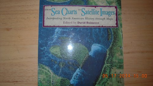
From Sea Charts to Satellite Images: Interpreting North American History Through Maps
abebooks.com
1%
$22.99
Jovow, Dinosaur Transport Engineering Truck, Toy Car, Dinosaur Game Set, Compartment , Featuring Simulated Dinosaurs ( Random), , Trees, And Maps
temu.com
+70%
1%
$13.99
The Black Phalanx: African American Soldiers In The War Of Independence, The War Of 1812, And The Civil War
abebooks.com


