20 States of America illustrated map
Описание
Hand drawn map of 20 west States of America: California, Nevada, Arizona, Utah, New Mexico, Kansas, Texas, Oklahoma, Montana, Colorado, Wyoming, Washington, Oregon, Idaho, Nebraska, North Dakota, South Dakota, Minnesota, Florida and Alaska. Maps contain the main attractions of the countries and the main names of cities. This set is perfect for designing posters for tourist booklets, illustration for books emblems for T-shirts, bags, cups, label, sticker and others. --- Documents includes JPEG, PSD, Al, EPS, PNG. All PNG files have a transparent background Each state is saved in a separate file. Take a look at the previews above to see everything that's included in this pack . Please note that text is NOT editable!!! There is a folder PNG in the pack with transparent background . You can find all the elements there which you can use in many-many programs to create your project. You can edit all elements and illustrations using the Adobe Illustration program . If you want to change an object or a colour - use the Adobe Illustration program . --- ZIP folder included: Illustrator Cs 10, vector file Eps 10, PNG file, JPEG preview, PSD file --- The second part you can find here: BONUS : If you bought the first and second part of the illustrated maps of America, you can write me your email and I'll send you a whole map --- Also you can find in my portfolio map of different countries: --- Thanks so much for visiting my shop!
Характеристики
| _GoogleCategoryID: | 5032 |
График изменения цены & курс обмена валют
Пользователи также просматривали
33%
$22.99
Utah The United States Of America Map Heat Sensitive Mug Red Color Changing Stoneware Cup
walmart.com
31%
$24.99
Vsdgher The Map Of United States 20 Oz Stainless Steel Vacuum Insulated Travel Mug Coffee Cup for Home Office Outdoor Works Great for Ice Drinks and Hot Beverage -Straw Three-piece Set
walmart.com![Witness To America An Illustrated Documentary History Of The United States From The Revolution To Today [ Signed By Both] [signed]
Witness To America An Illustrated Documentary History Of The United States From The Revolution To Today [ Signed By Both] [signed]](http://pictures.abebooks.com/isbn/9780062716118-us.jpg)
28%
$45.00
Witness To America An Illustrated Documentary History Of The United States From The Revolution To Today [ Signed By Both] [signed]
abebooks.com
26%
$29.64
Turtles of North America: An Illustrated Field Guide to the Turtles of the Continental United States and Canada
abebooks.com
24%
$19.89
Adventure Tales of America : An Illustrated History of the United States, 1492-1877
abebooks.com
21%
$37.99
Arizona The United States Of America Map Coaster Cup Mug Holder Absorbent Stone Cork Base Set
walmart.com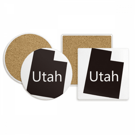
18%
$37.99
Utah The United States Of America Map Coaster Cup Mug Holder Absorbent Stone Cork Base Set
walmart.com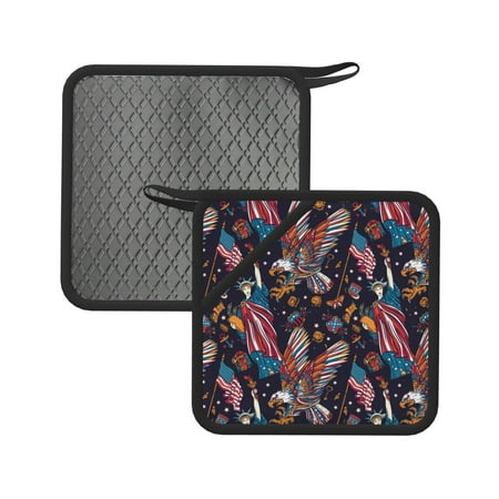
5%
$25.99
Matuu United States Of America for Square Silicone Anti-hot Pad for Kitchen Potholders Hot Dishers Spoon Holder
walmart.com
2%
$15.99
Horeoi United States Of America Print Coral Fleece Microfiber Hanging Hand Towel Absorbent Hand Towel Quick Dry Thicken Cleaning Cloths Wipes Rags for Kitchen & Bathroom
walmart.com
1%
$24.99
Lukts United States Of America for 20OZ Car Cup Stainless Steel Direct Drinking Straw Thermos Cup Suitable for Office Travel and Car-Without Straw
walmart.com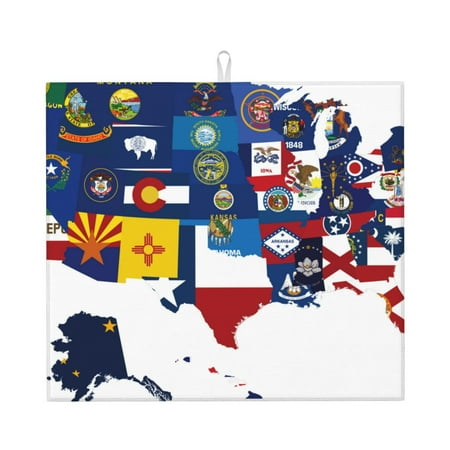
1%
$17.99
Lukts The Map Of United States Print Ultra Water Dish Drying Mat Slip Resistant Pad for Sink Dishes or Under Rack Kitchen Counter Accessories
walmart.com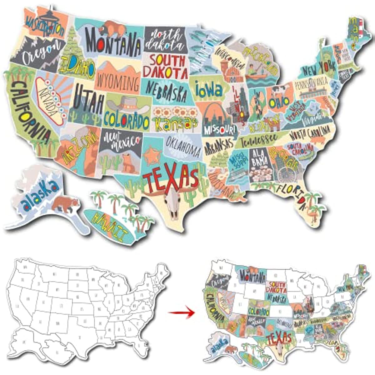
+3%
1%
~ $16.00
Rv State Sticker Travel Map Of The United States | 50 States Stickers Of Us | Vinyl Decal Bumper Sticker For Rvs | Camper Accessories Rv Accessories
temu.com
+4%
1%
~ $27.90
HuddleCamHD Spare Power Supply for HC3XW-G2, HC10X-G2, HC20X-G2, HC30X-G2 Camera (United States of America)
adorama.com
1%
$19.72
The Founding Of New Societies: Studies in the History of the United States, Latin America, South Africa, Canada, and Australia
abebooks.com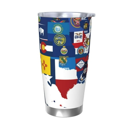
1%
$24.99
Matuu The Map Of United States for 20oz Durable Thermal Cups Keep Drinks Cold and Hot Insulated Car Mug with Lid-Without Straw
walmart.com
1%
$8.98
Luigi Castiglioni's "Viaggio" : Travels in the United States of America, 1785-1787
abebooks.com
+4%
1%
~ $27.90
HuddleCamHD Spare Power Supply for HC3XBKG2, HC10X720BK, HC10X720WH PTZ USB Camera (United States of America)
adorama.com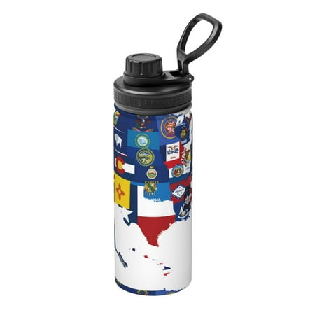
1%
$27.99
Ocsxa The Map Of United States Print 18oz Stainless Steel Water Bottle Unisex Water Bottle Insulated Sports Water Cup Flask for Cold Water Drinks/Sports/Travel/Car/School
walmart.com
+4%
1%
~ $50.00
Ikelite 7.2V 1A NiMH Smart Charger with 2.1mm Plug for DS160, DS161 and DS125 Strobes (United States of America)
adorama.com![Yellowstone and Grand Teton National Parks [Map Pack Bundle] (National Geographic Trails Illustrated Map)
Yellowstone and Grand Teton National Parks [Map Pack Bundle] (National Geographic Trails Illustrated Map)](http://pictures.abebooks.com/isbn/9781597754002-us.jpg)
1%
$21.97
Yellowstone and Grand Teton National Parks [Map Pack Bundle] (National Geographic Trails Illustrated Map)
abebooks.com
1%
$7.86
The Smithsonian Guides to Natural America: The South-Central States: Texas, Oklahoma, Arkansas, Louisiana, Mississippi
abebooks.com![Big Cotton: How A Humble Fiber Created Fortunes, Wrecked Civilizations, and Put America on the Map [first edition]
Big Cotton: How A Humble Fiber Created Fortunes, Wrecked Civilizations, and Put America on the Map [first edition]](http://pictures.abebooks.com/isbn/9780670033676-us.jpg)
1%
$23.00
Big Cotton: How A Humble Fiber Created Fortunes, Wrecked Civilizations, and Put America on the Map [first edition]
abebooks.com
1%
$3.34
40Pcs/set Grille Boot Hood Bumper Side Skirt Panel Trim Clip Engine Bay Shield Cowl Clip Car Fastener Accessories 91503SZ3003
aliexpress.com
1%
$471.86
High-End Barber Shop Space Capsule Couch Hair Salon Electric Hair Salon Massage Hot Dyeing Chair
aliexpress.com




![History of the United States of America. Volume v.5 1962 [Leather Bound]
History of the United States of America. Volume v.5 1962 [Leather Bound]](http://i5.walmartimages.com/asr/3619fb79-8749-467e-88d1-7ee16c4d95e3.106bd63937bd7395bde413aaabd5f93e.jpeg?odnHeight=450&odnWidth=450&odnBg=ffffff)


