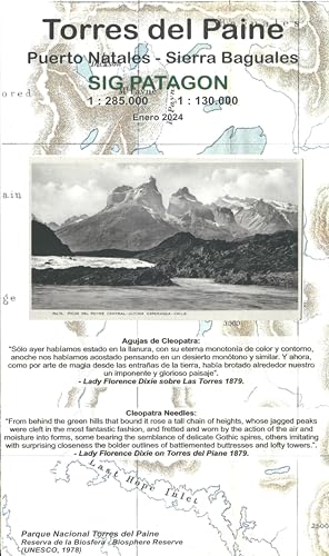
Torres del Paine, Topographic Road and Hiking Map/Torres del Paine : Puerto Natales - Sierra Baguales (Spanish Edition)
Description
Torres del Paine National Park Patagonia Chile Trekking capital of Patagonia. GPS Treks Circuit and W trails with distances in kms, hotels, huts, camping, etc. Scale 1:125.000, coordinates in Lat/Long and UTM. Side 2: More extensive park area including south of Puerto Natales and Sierra Baguales, scale 1:250.000; map with access routes from Puerto Natales Scale: 1:125,000 - 1:250,000 Projection: WGS84 UTM 18 S Publication Details: State Borders, County Borders, Secondary Roads, National Parks, Physical/Terrain, International Borders, Latitude/Longitude lines, Points of Interest, Legend, Elevation Info Water-resistant synthetic paper. In Spanish.
Price history chart & currency exchange rate
